Kuvaus
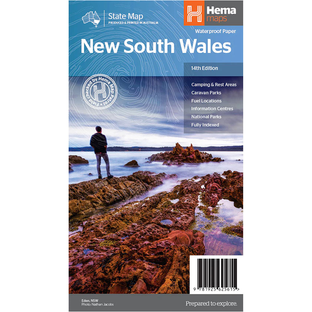
This state map of New South Wales is at a scale of 1:1,500,000 and includes national parks, points of interest, 24-hour fuel in addition to camping and rest areas.
On the reverse side are through road maps of Sydney and Canberra, as well as the Sydney regional area.
There is a full index included, as well as all national park information.
Points of interest, 24-hour fuel, National parks, Camping areas, Rest areas, Fully indexed
Product Specifications
- Points of interest
- 24-hour fuel
- National parks
| Length : 25 cm | Width : 13,5 cm |
| Height : 0,5 cm |

Helppo paluu
Ilmainen 365 päivän takuu

Osta ja maksa valuutassasi
Toimitetaan nyt yli 40 maahan

100 000+ tuotetta
Upeat tuotemerkit. Kaikki lahjatapahtumat.


