


説明
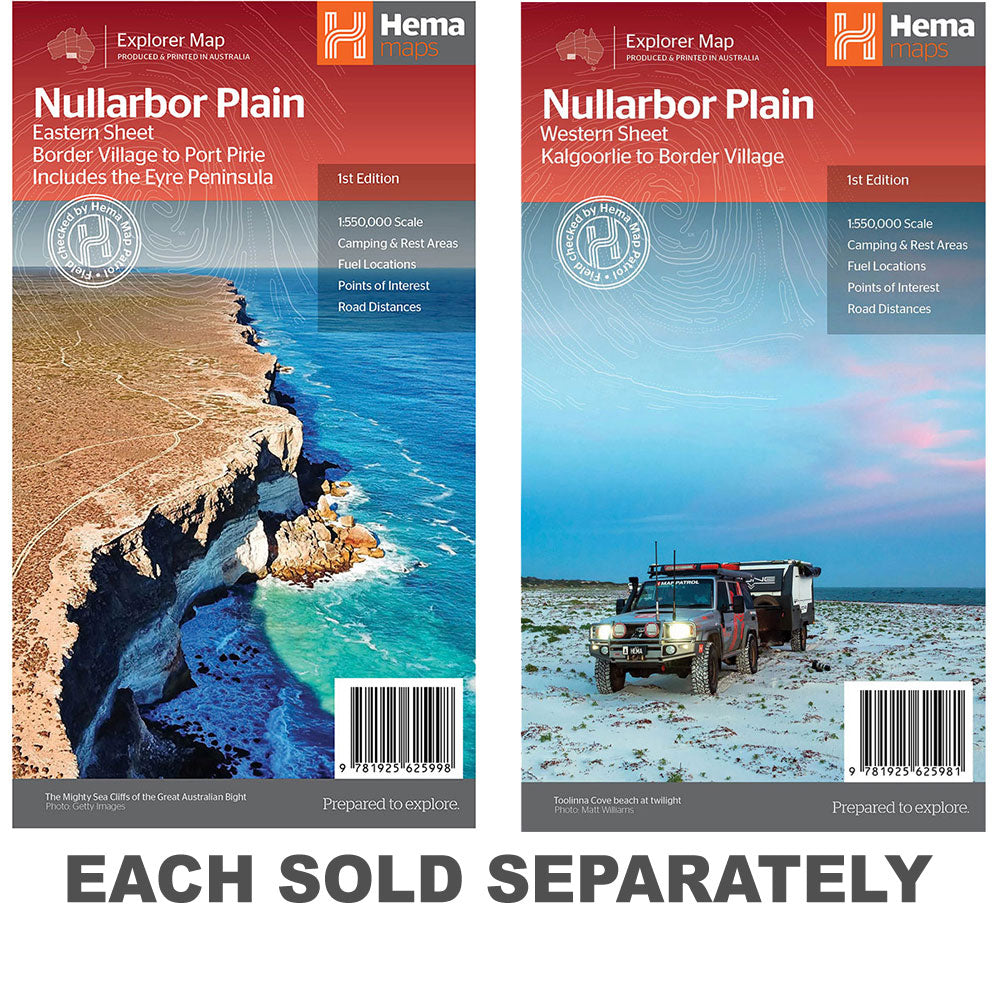
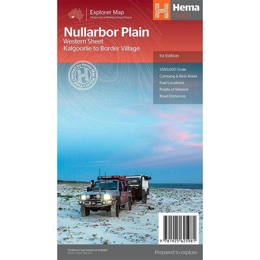
This map is part of Hema's new Nullarbor Plain Map Series and covers the area from Kalgoorlie to Border Village and its surrounds.
Truly one of the worlds great adventure drives, Australia's semi-arid Nullarbor Plain stretches some 1,256 kilometres (781 miles) via the Eyre Highway and links the cities of Adelaide and Perth (or vice versa depending on your direction).
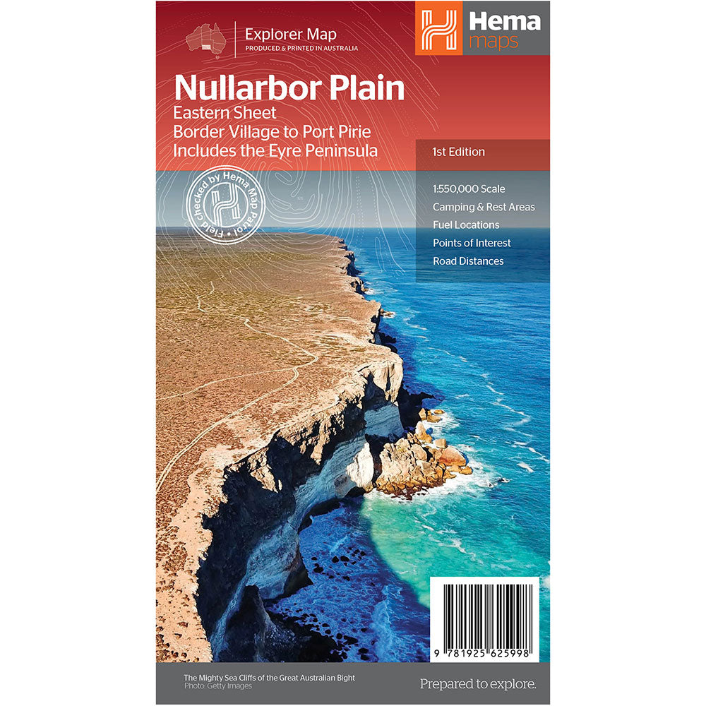
The length of this journey is so large we needed to stretch it over two maps; East from Port Pirie to Border Village in South Australia and the Western sheet from Border Village to Kalgoorlie.
While all the key sites and facilities along the Eyre Highway are listed this map allows you to broaden your horizon and consider some of the other attractions off the Highway, including; the various Nullarbor caves, iconic beaches across the Great Australian Bight and thousands of kilometres of 4WD tracks (including Old Coach Road (by permit)), all field-checked by the Hema Map Patrol for superior accuracy.
Product Specifications
- 4WD tracks
- Camping & rest areas
- Fuel Locations
| Length : 24.5 cm | Width : 14 cm |
| Height : 0.5 cm |


簡単な返品
無料の365日保証

通貨で買い物をして支払います
現在、40か国以上に出荷しています

100,000以上の製品
素晴らしいブランド。すべてのギフトの機会。